Did You Know?
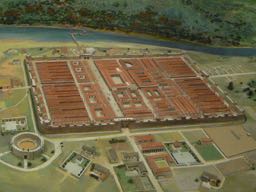
The King Street Area is not only within the Medieval City Walls, but also within the bounds of the Roman Fort of Deva which predate them. So, it’s not a matter of if anything from Roman Britain remains under your house … but what! More on the history of Roman Chester can be found here.
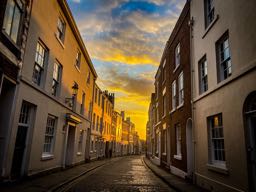
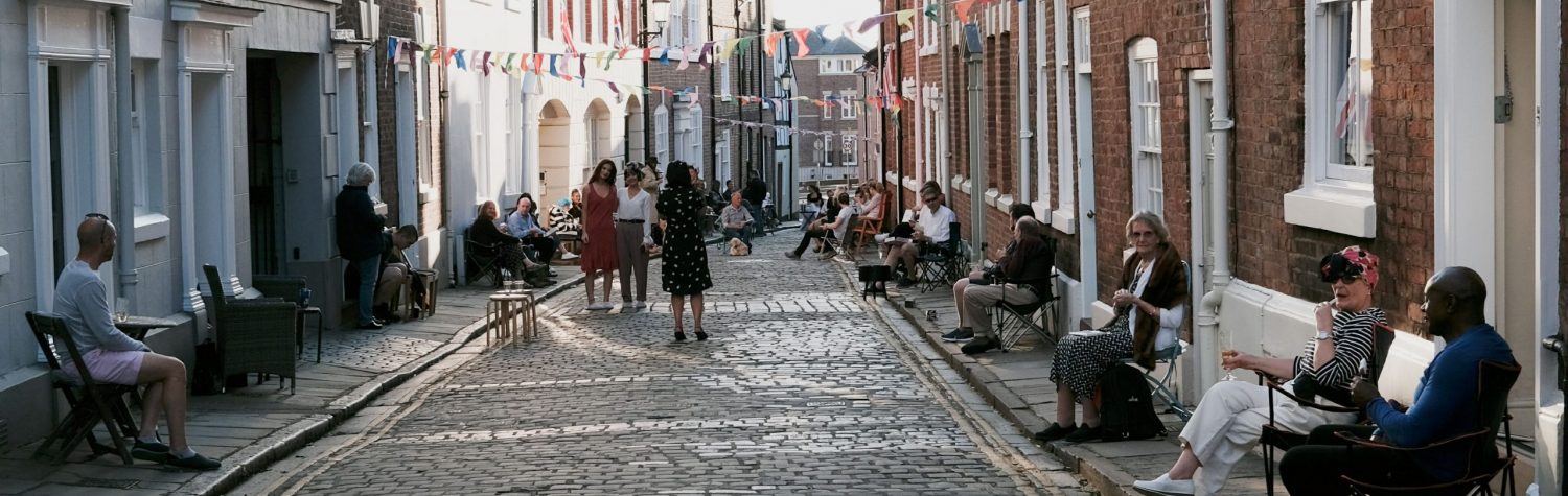
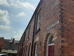
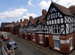
King Street
King Street was originally called Barne Lane, as it led from the Abbey (now Cathedral) to its Tithebarn (no longer in existence). When the street was developed in Georgian times, it was renamed to make it sound a bit more upmarket. Further development took place in the late 20th Century, when under the threat of demolition due to their parlous condition, many derelict houses were renovated. The oldest houses on King Street date back to c1650. A fascinating history of King Street can be found here, and some additional notes on its history by R. Benton here.
Firemans Square
Firemans Square contains a terrace of houses, accessed via a passageway between Northgate Street and the end of Canning Street. The terrace of “Firemans Cottages” was developed in the mid-20th century. Firemans Square is close to 73 Northgate Street, which is now the Chez Jules Restaurant: until 1971 however, it was the home of the City of Chester Fire Brigade.
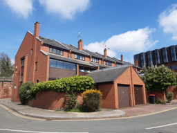
King Charles Court
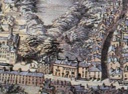
King Charles Court was built on the site of the Northgate Brewery, which was demolished in 1971 as part of the Northgate Brewery development. This Map of the King Street Area from 1875 (image 2) shows the King Street area with the Northgate Brewery in situ. King Charles Court was built in the 1980’s.
Canning Street
Canning Street existed at the time of the brewery – though it’s got nothing to do with canning beer (all bottles and casks back then). An historic picture of Canning St taken before the redevelopment of the Northgate Brewery Site can be found on the Northgate Brewery web-page. Canning Street was extended to the East as part of the Northgate Brewery redevelopment.
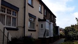
Pemberton Road
The road is named after John Pemberton, a rope maker from around 1700. He used to stand on what became known as Pemberton’s Parlour, watching his men and boys working below – on what is now known as Pemberton Road. The houses on Pemberton Road were developed in the late 19th century.
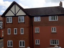
Powys Court
Located on the western side of Pemberton Road, Powys Court is a modern, purpose-built accommodation complex for students of Chester University.
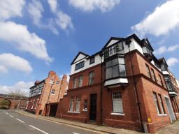
Water Tower Street
Water Tower Street is named after the water tower, otherwise known as Bonewaldesthorne’s Tower, which is located at the North-western corner of the City Walls. King’s Charles Court is located alongside Century House and the Liverpool Arms at the eastern end of Water Tower Street, with two Victorian-era terraces at the western end.
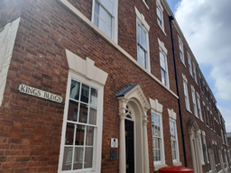
Kings Buildings
The Kings Buildings were built in 1775, and were restored in the 1980’s after falling into dereliction. Those interested in architecture can read up on the features of the building on the British Listed Buildings Website.
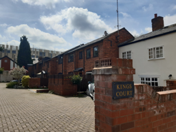
Kings Court
Situated behind the Kings Buildings is Kings Court. Whilst the area was redeveloped in the 1980’s, Kings Court can be clearly seen on this map from 1833.
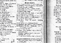
Want to know who lived in your house 150 years ago?
Street Directories dating back over 150 years are available at the Cheshire Records Office. Copies of many directories for King Street and Kings Buildings can be found here. Transcribed as part of a school project, census records for 1861 and 1881 are also available. If you want to know a little more about the people of Chester a little further back, have a look at the Chester Directory from 1792. Look closely at it, and you can see it also contains the Bus Timetable and Post pick-up times from all those years ago.
King Street Area Scrapbook
Finally, make sure you have a look at the King Street Area Scrapbook section of the website: it contains a variety of historical documents, maps, and newspaper cuttings relating to our wonderful neighbourhood. Happy browsing …